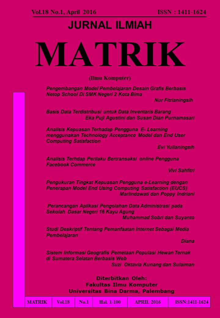
SISTEM INFORMASI GEOGRAFIS PEMETAAN POPULASI HEWAN TERNAK DI SUMATERA SELATAN BERBASIS WEB
DOI:
https://doi.org/10.33557/jurnalmatrik.v18i1.401Keywords:
Geographic Information Systems, Livestock, ArcGIS 10.2.Abstract
Geographic information systems have a great advantage in the process of data management, in particular spatial and attribute data in digital form. The data will be stored as an attribute of a location or object geographical location, so that it can be used optimally in the process of analysis of information, for example information system mapping livestock population in South Sumatra. The use of Web-based GIS is intended to facilitate the employers nor the Department of Animal Husbandry in accessing information and data processing to see the area that has the potential of livestock production in South Sumatra. The design of digital mapping on this system using ArcGIS 10.2. The results of the study are expected to society, especially the employers can get information and management of livestock population data, especially in the Department of South Sumatra farms become more efficient, effective and more accurate.
Downloads
References
Falah, Wahyu. 2015. Tutorial ArcGIS 10.1 Menggambar Peta dengan ArcGIS 10.1. Andy Offset. Yogyakarta
Jogiyanto, Hartono. 2009. Sistem Teknologi Informasi. Andi Offset. Yogyakarta.
Prahasta, Eddy. 2009. Sistem Informasi Geografis konsep-konsep dasar perspektif Geodesi & Geomatika. Informatika. Bandung.
Rossa, A.S & Shalahuddin. M. 2013. Rekayasa Perangkat Lunak Terstruktur dan Berorientasi Objek. Modula. Bandung
Sutabri, Tata. 2012. Analisis Sistem Informasi. Andi.Yogyakarta.
Downloads
Published
Issue
Section
License
Jurnal Ilmiah Matrik byhttps://journal.binadarma.ac.id/index.php/jurnalmatrik is licensed under a Creative Commons Attribution-ShareAlike 4.0 International License.


